Wild Woods Geocache
‘Wild Woods’ was a temporary waymarked geocache designed for primary school children working at second level of the Curriculum for Excellence. The Experiences and Outcomes covered by this geocache are: SCN 2-01a, LIT2-02a, MNU 2-20a and HWB 2-17a. This geocache was designed to stimulate independent learning and active discussion whilst introducing the environmental science concept of biodiversity. The geocache focused on comparing managed and unmanaged woodland.
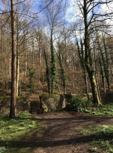
The geocache was placed beside an opening in the university’s west boundary wall which allows access to the Hermitage Woods. From this point both the managed and unmanaged woodlands were observable and accessible which ensured the delivery of the activities found in the geocache were place responsive. This place was an easily accessible location and terrain so ensured full inclusivity of all children. There is a good variety of wildlife at either side of the wall that clearly shows the differences in biodiversity between the Hermitage Woods and the University grounds. The geocache was a waterproof folder that contained an instruction sheet, activity sheets, whiteboard markers and a whistle.
 .
.
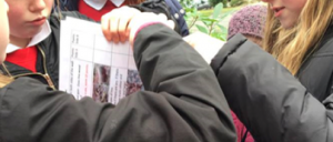
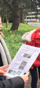
Firstly, the children were encouraged to observe and then discuss the differences between the two sides of the wall and the two different types of woodland. This introduced them to the terminology of managed and unmanaged woodland. Following this the children completed the Wild Woods activi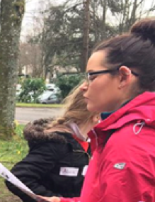 ty sheet. The activity sheet consisted of 9 different things which may or may not be observed at either side of the wall, using location specific photographs as a visual prompt and to cater for all levels of ability. Ten points were allocated for each of the nine things which were observable. The children chose a partner to work with and were then allocated 10 minutes for each side of the wall to complete this task. After completion, the children reconvened, calculated, compared and discussed their totals for side A and side B. They were then introduced to the structural layers of a healthy woodland and how this is important to ensure supporting a greater variety of species. From this the wider of concept of the importance of biodiversity was introduced and discussed. Children then compared the scores from the activity sheet which allowed them to come to their own conclusion about which side had the greater biodiversity. By enhancing their knowledge of woodland management and therefore the environmental impact of human activity on biodiversity, this encouraged the awareness and development of more sustainable lifestyles.
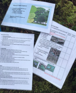
The children found that the geocache and activity challenged their assumptions of which woodland would reflect the most biodiversity. The activity introduced children to key environmental science concepts and terminology that can be used to develop their scientific ideas. The activity also provided transferable skills that the children can use within and out of the classroom. This geocache was effective as it helped children develop many skills. There were opportunities for group
discussion, partner work and individual working all within this short activity. The children also developed their observational skills and data handling which are particularly significant skills to have.
By Beth Alexander, Amy Smyth . (3rd Yr University of Stirling – Primary Education), Kerry Campbell (3rd Yr Heritage BA).
This geocache was a temporary way-marked cache – it will not be available on geocaching.com
Thanks to Ms Westmoreland and all the pupils from Cowie Primary School who came along to help us trial these. We had a great day with you all.
